Loading map…
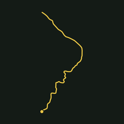
An 8.8km return NPWS track to the summit of Wollumbin/Mount Warning, currently closed with the closure extended to 30 June 2027 pending resolution with Bundjalung custodians, confirmed on the NSW NPWS and environment.nsw.gov.au sites.
Wollumbin (Mount Warning) summit track
Wollumbin National Park · Northern Rivers
Distance
9.96 km
Est. time
2 hr 46 min
Elevation gain
413 m
Elevation loss
413 m
Grade
Moderate
Route type
Out & back
Elevation profile
About this trail
An 8.8km return NPWS track to the summit of Wollumbin/Mount Warning, currently closed with the closure extended to 30 June 2027 pending resolution with Bundjalung custodians, confirmed on the NSW NPWS and environment.nsw.gov.au sites.
Source: OpenStreetMap contributors (ODbL) + SRTM 30m via opentopodata.org