Loading map…
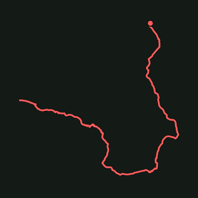
One of Warrumbungle National Park's signature bushwalks, climbing past Belougery Spire and beneath the towering volcanic spine of The Breadknife to the Grand High Tops lookout, with views across to Bluff Mountain and Crater Bluff.
Grand High Tops Track
Warrumbungle National Park · Coonabarabran, North West Slopes, NSW
Distance
9.48 km
Est. time
3 hr 41 min
Elevation gain
704 m
Elevation loss
369 m
Grade
Expert
Route type
Loop
Elevation profile
About this trail
One of Warrumbungle National Park's signature bushwalks, climbing past Belougery Spire and beneath the towering volcanic spine of The Breadknife to the Grand High Tops lookout, with views across to Bluff Mountain and Crater Bluff.
Source: OpenStreetMap contributors (ODbL) + SRTM 30m via opentopodata.org